The Great Kingdom of Ahhiyawa Lego Map
A number of years ago I purchased the Lego World Map set, an almost 12,000 piece festival of Dots. I did not purchase the set with the intention of making the World Map though, my intention, from the very beginning, was a shitpost, in the form of a Map of the Aegean.
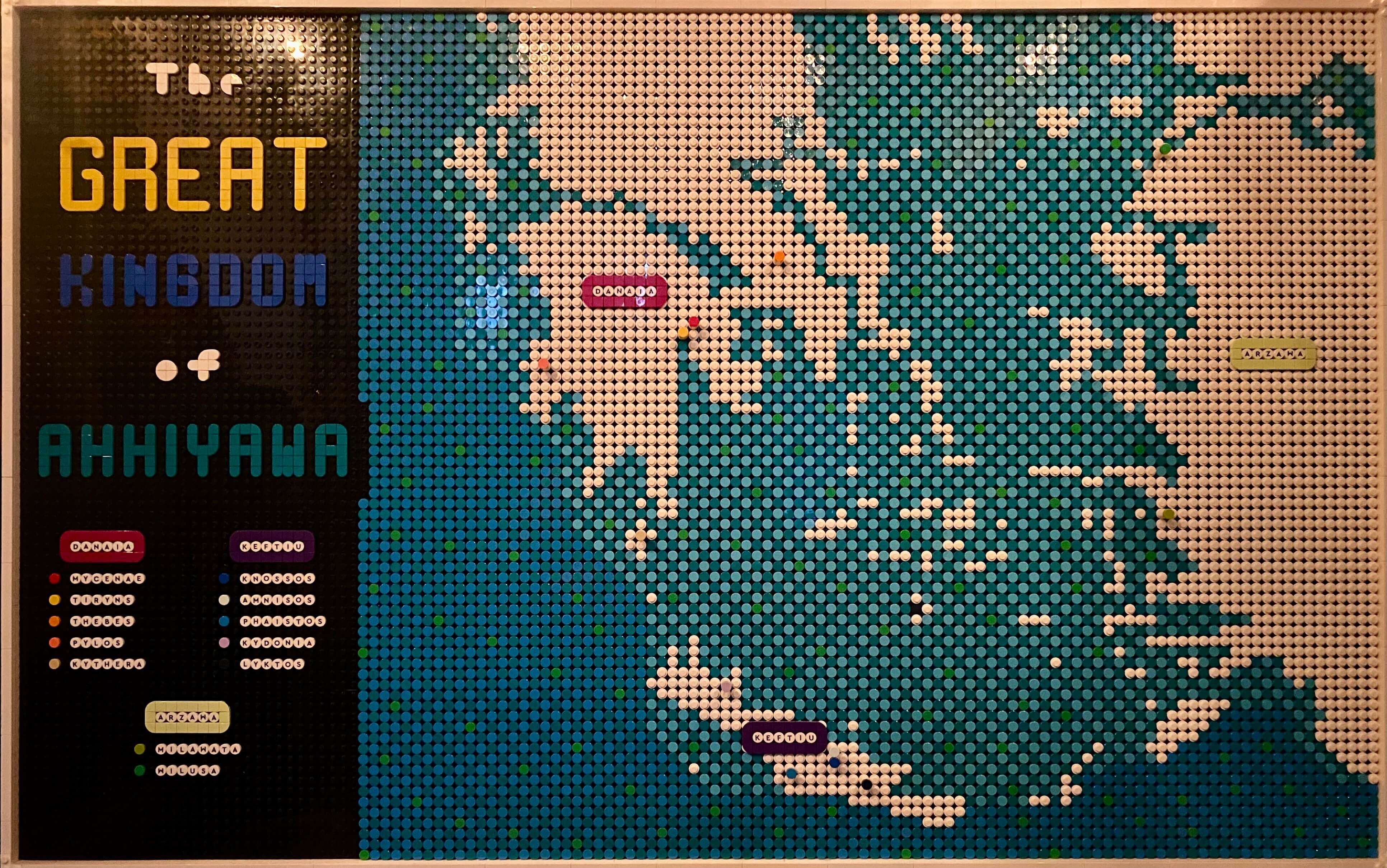
The Inspiration
It was in the introduction to The Ahhiyawa Texts, a collection of translations of all the various texts from the near east that deal with the Bronze Age political entity of Ahhiyawa, that I was introduced to Jorrit Kelder's hypothesis of a Great Kingdom of Mycenae. I was so intrigued by the idea that I didn't get back to reading the remainder of The Ahhiyawa Texts until I had completed Kelder's monograph The Kingdom of Mycenae. Kelder has continued to publish on the topic in the years since, and while he has many critics, I've seen nothing to make me question the basic validity of his hypothesis.
For reasons only the Muse can elucidate, the idea of making a map of the Aegean, more specifically a map of the Great Kingdom of Mycenae came rather quickly into focus. The idea was that I would be able to use it for any number of fun Aegean related maps; the Catalogue of Ships from the Iliad, the Amenhotep III era Egyptian diplomatic mission to the Aegean (which itself is only a conjecture of course, fertile territory for shitposting), there were any number of potential uses. Initially though, the intention was to use the map of the Aegean to create a map of the Great Kingdom of Mycenae, what I decided to call, in an effort to turn the shitposting knob up even higher, the Great Kingdom of Ahhiyawa.
While most scholars now have no trouble with the idea that Mycenae == Ahhiyawa, this wasn't always the case, and even now some scholars feel the need to point out that the equation is uncertain. This is bullshit. The equation is not uncertain, too much respect is being paid to prior ideas and modern contrarians. To the degree that there are issues with the equation, it's because Ahhiyawa didn't just refer to Mycenae, but rather to the entire Great Kingdom of Mycenae.
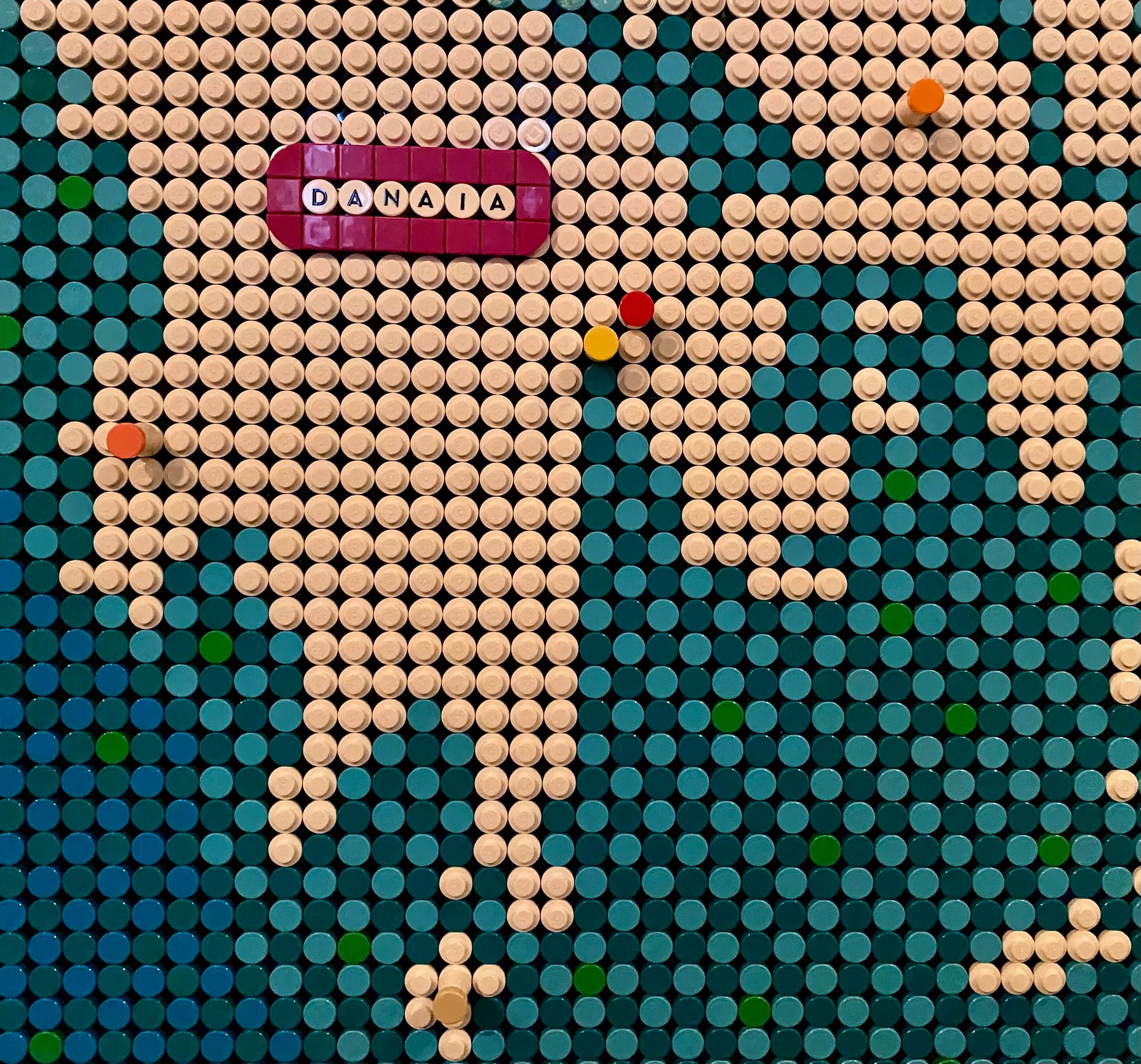
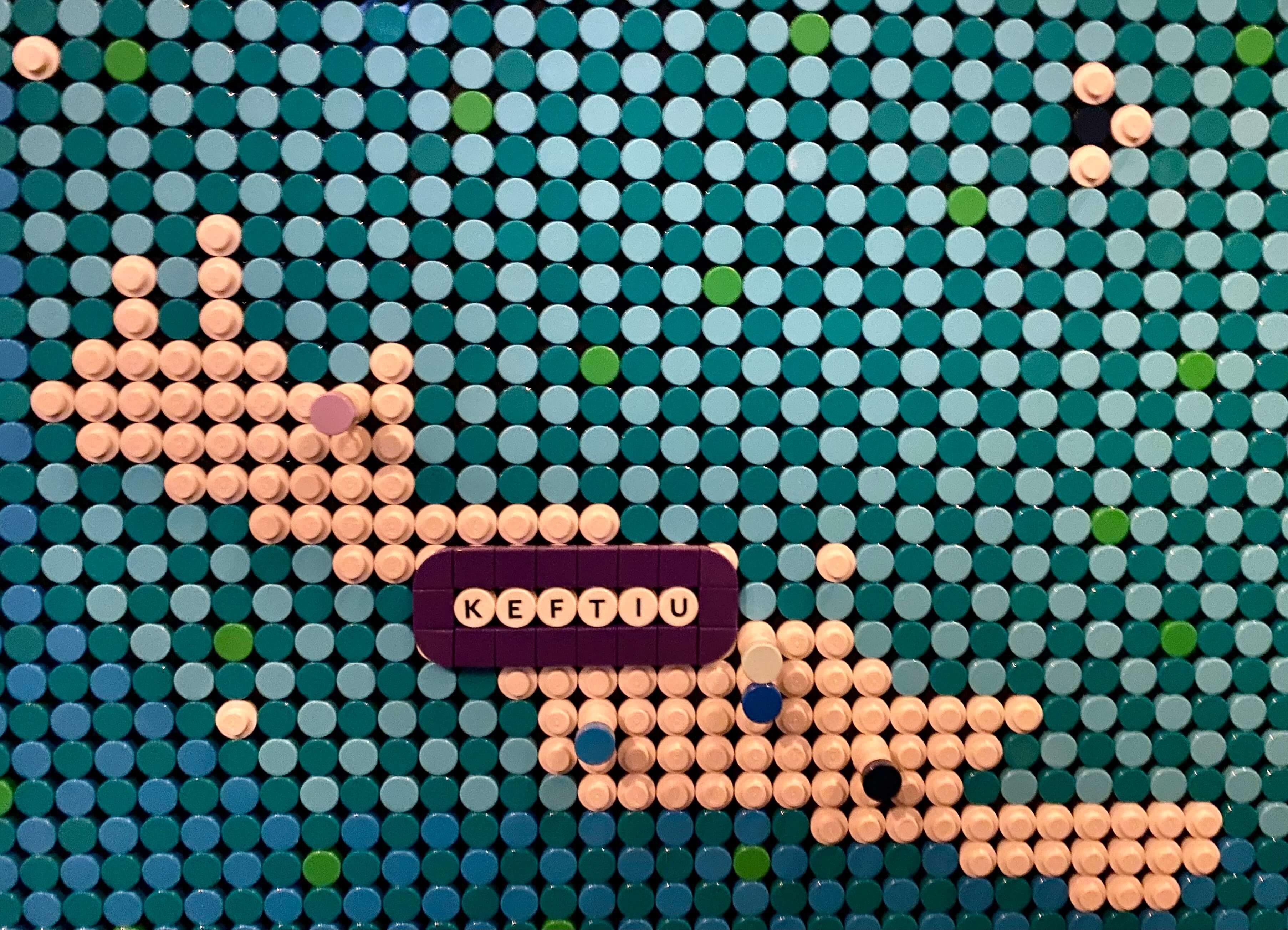
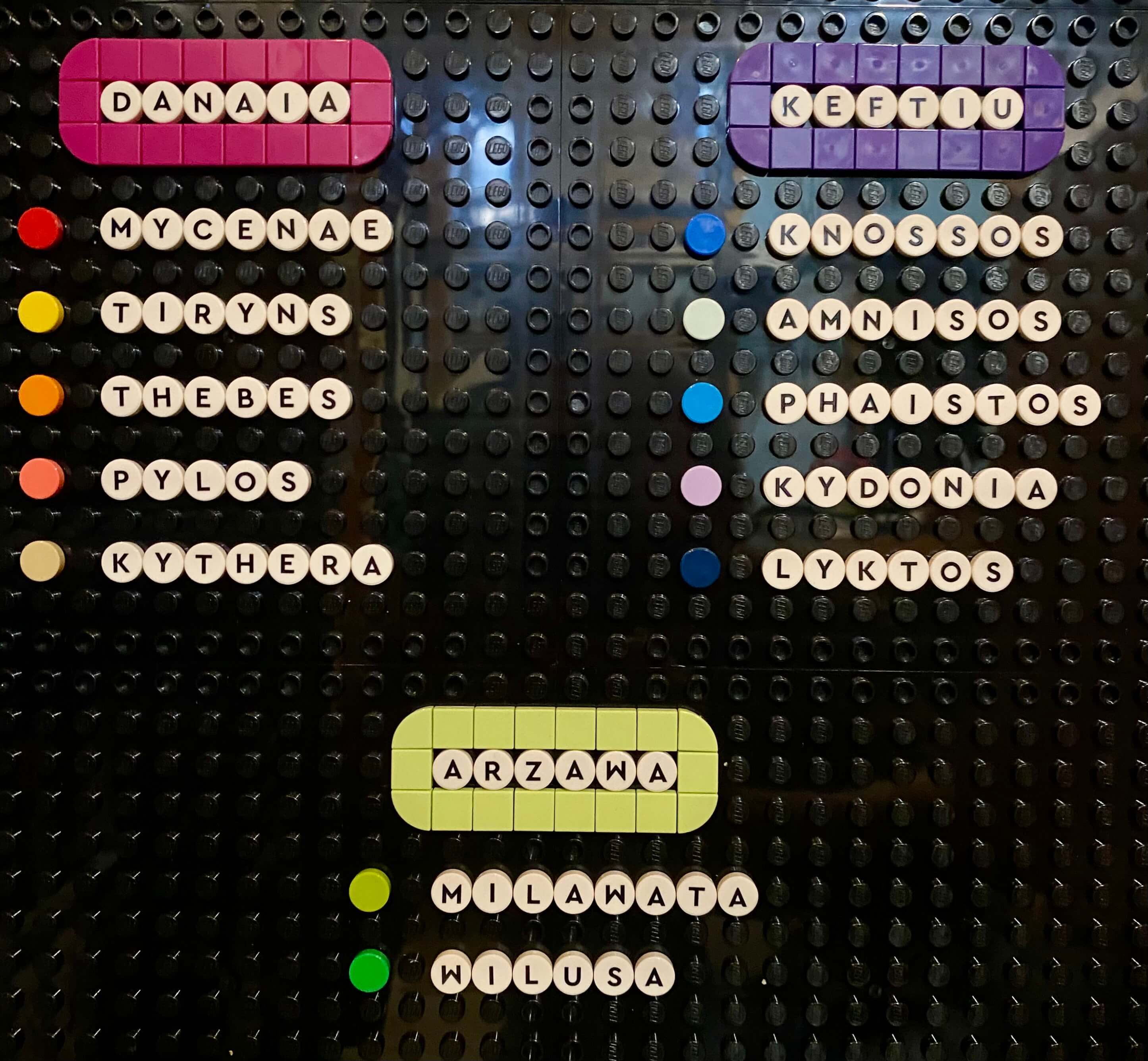
As for why I picked the locations I picked to label: for Danaia and Keftiu I used the heading names, and places identified, from the Aegean List found in Egypt.
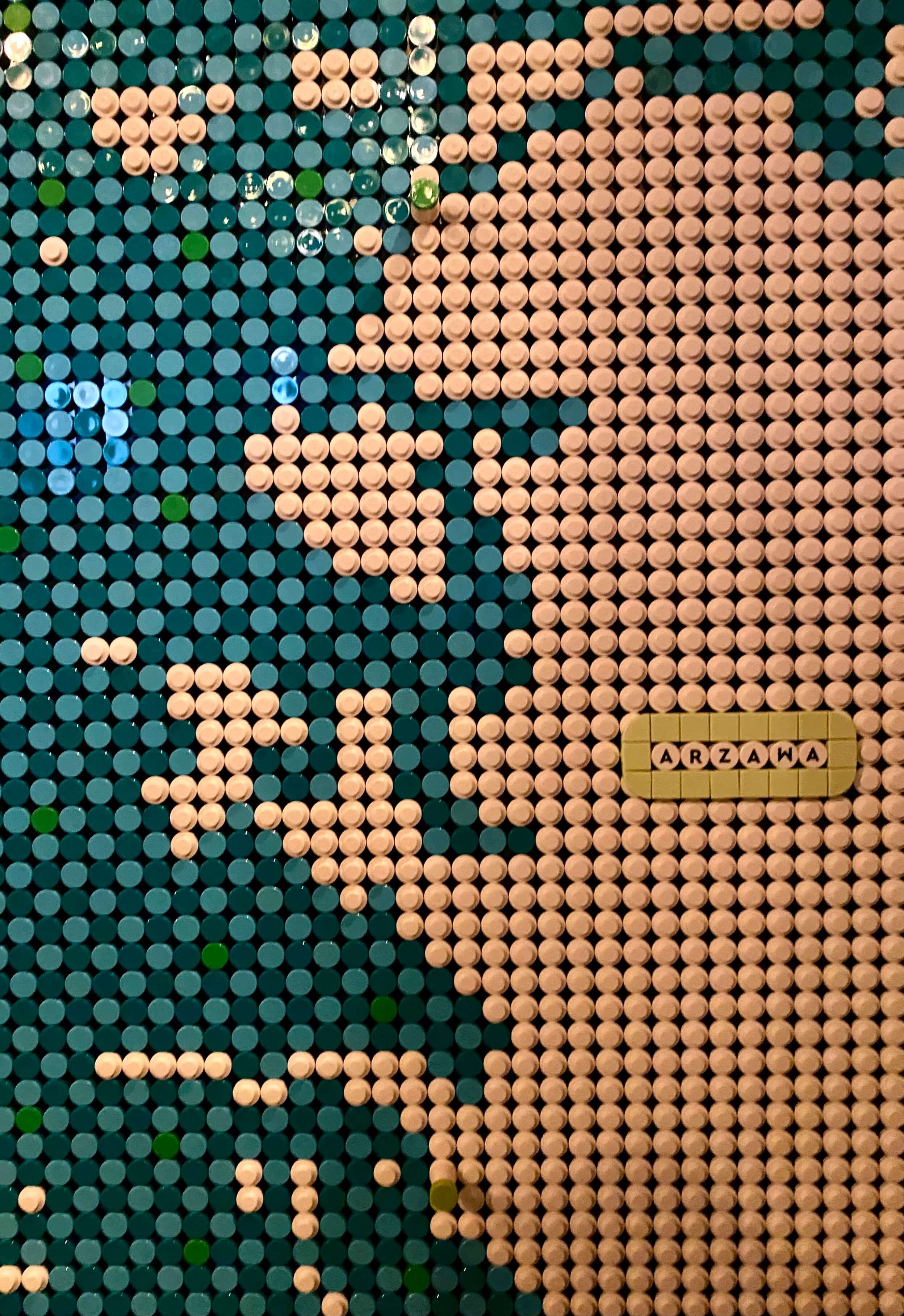
Perhaps most controversially, as Kelder nor anyone else I'm aware of includes it as part of Ahhiyawa, I have included the Anatolian confederation known as Arzawa. This part of the map is less about accuracy and more about dialing up the shitposting to previously unimagined levels. However, even if Azarwa as such was not part of Ahhiyawa, the Ahhiyawans are known to have had interests in the locations labeled on the map. Milawata (Miletus) was a Minoan and later Mycenaean colony, and Wilusa (Ilios/Troy) is identified in Hittite documents as place that had been contested by the Ahhiyawans.
The Technique
In order to actually make the map I had to know where to put the water dots and where to put the land dots. To do this I captured an image of the Aegean that I wanted to use, and then broke that image into a 6x5 grid. The Lego World Map is created using an 8x5 canvas of 16x16 technic plates. I reserved the left 2x5 of the 8x5 overall canvas for map information; title, legend, etc. That left the remaining 6x5 of the canvas for the map itself.
For each of the 30 individual sections of the 6x5 map, I laid a 16x16 grid over the top to use a guide for which Lego studs should be land and which should be water. There was some "artistic license" applied with this method, as I wanted islands to be clearly defined as islands and so made some of the waterways wider than they actually are. Euboea for instance gets a lot closer to the mainland than the Lego map suggests, but I felt like making it a clearly defined island was more important.
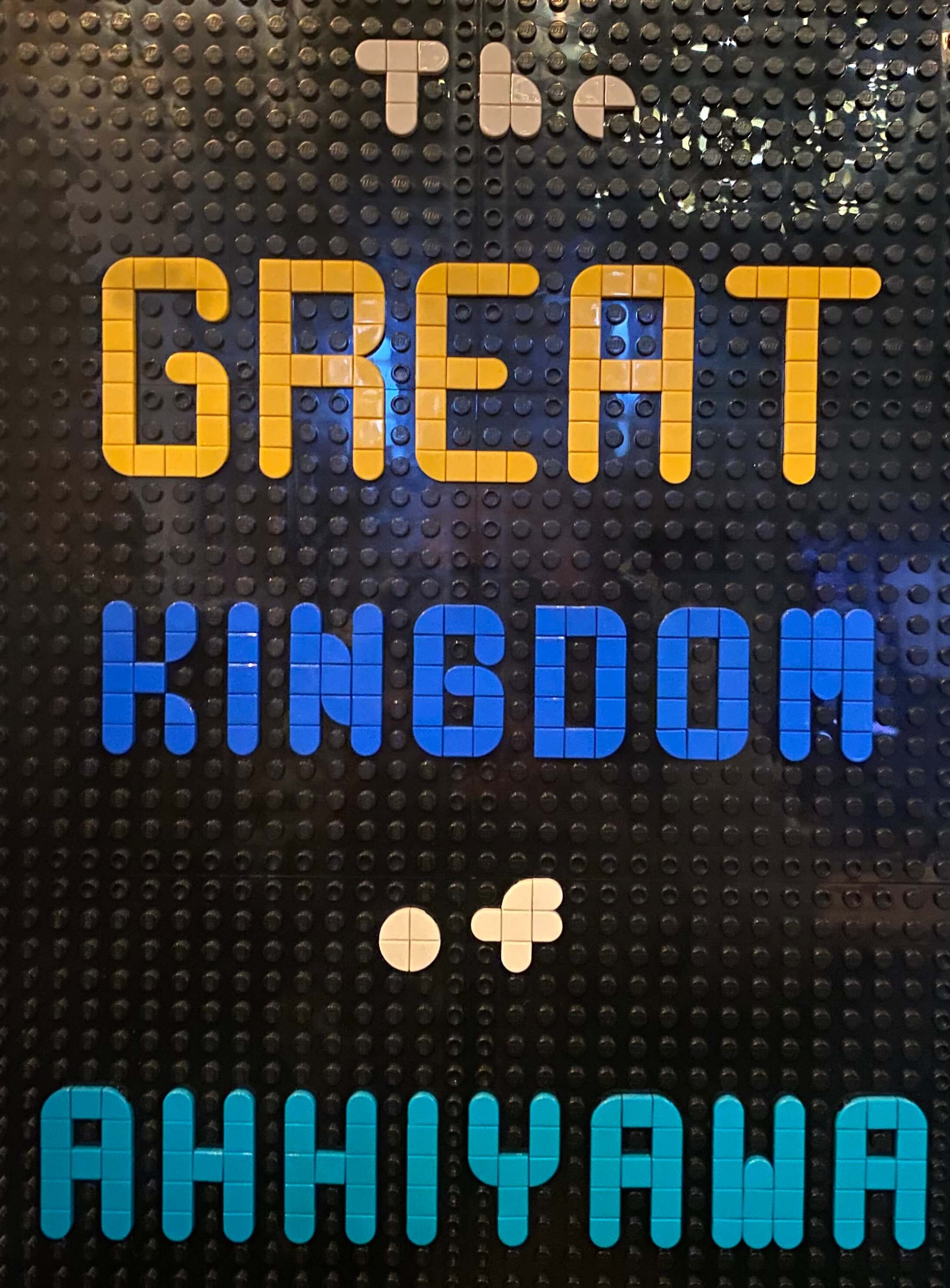
Additionally, as I wanted to depict the Aegean basin as shallower than the surrounding deep Mediterranean, I needed to acquire a lot more of the dark blue dots than the set came with. Additionally, the dots used in the title and legend didn't come from the World Map set. The non-lettered dots were part of a dots lettering set, and the dots with letters on them were purchased in bulk from Bricklink.
- ← Previous
Three Discworld Lego MOCs